Topographic Mountain Maps
Topographic contour map posters of famous peaks, national parks and ski resorts: Kebnekaise and Sarek in Lapland, the Matterhorn, Mont Blanc, K2, Everest, Kilimanjaro and more. Each map is drawn from satellite elevation data as fine contour lines, with the highest summits and their heights under the title.
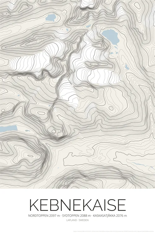
Kebnekaise Topographic Map Poster
Sweden Mountain Contour Lines Print
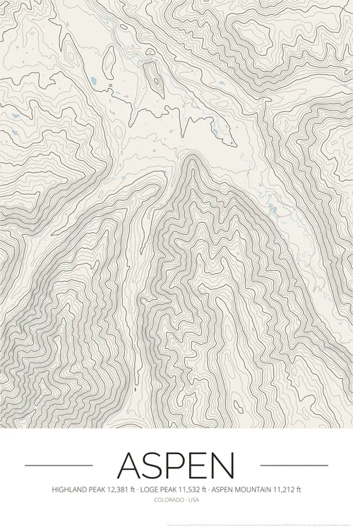
Aspen Topographic Map Poster
Colorado Ski Resort Contour Lines Print
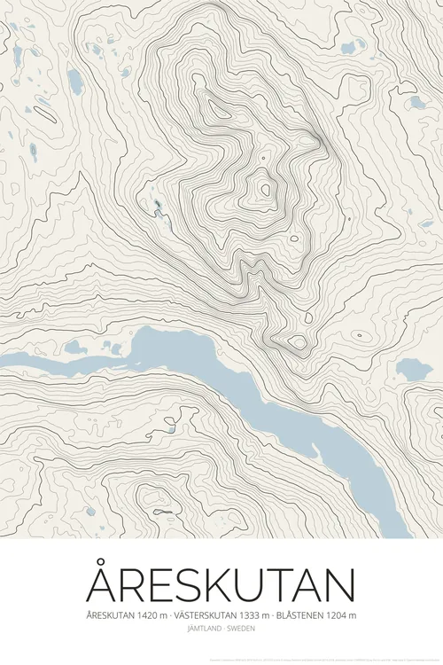
Åreskutan Topographic Map Poster
Åre Sweden Ski Resort Contour Lines Print
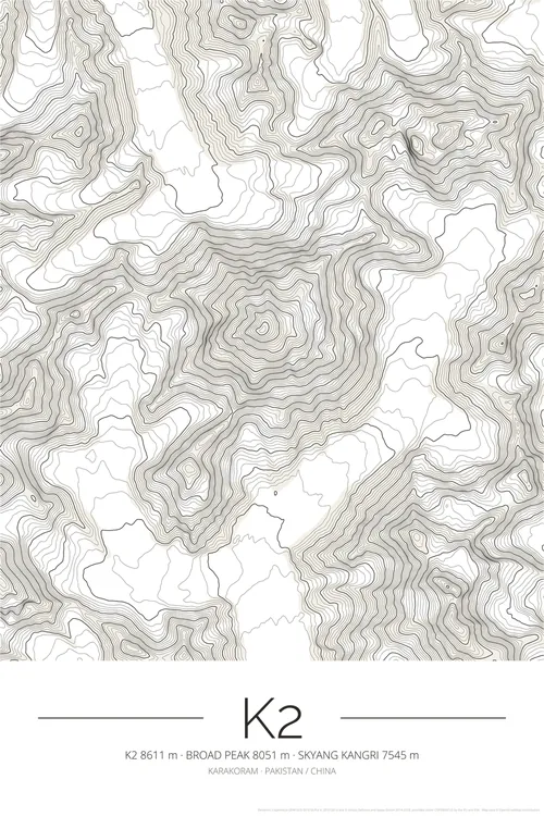
K2 Topographic Map Poster
Karakoram Mountain Contour Lines Print
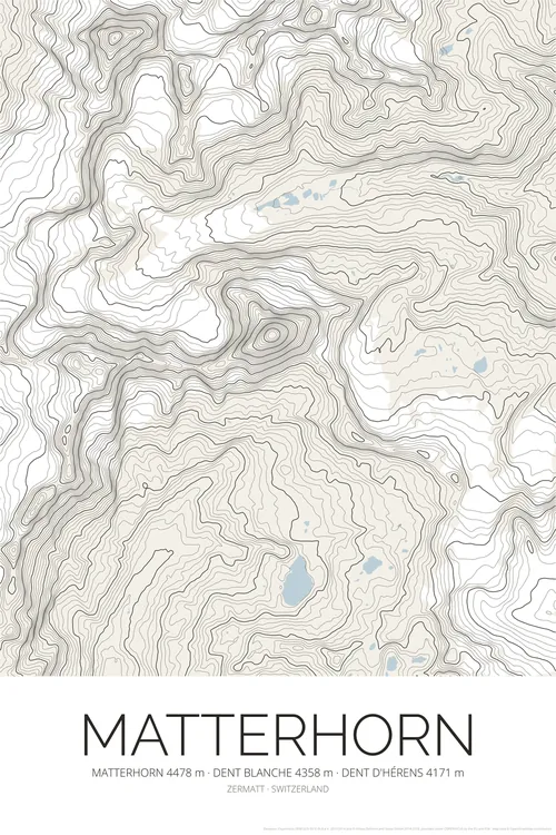
Matterhorn Topographic Map Poster
Zermatt Swiss Alps Contour Lines Print
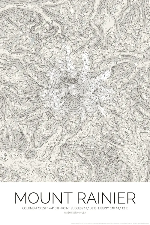
Mount Rainier Topographic Map Poster
Washington Contour Lines Print
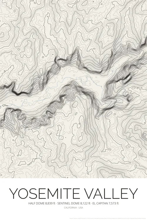
Yosemite Valley Topographic Map Poster
Half Dome El Capitan Contour Lines Print
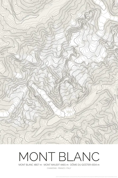
Mont Blanc Topographic Map Poster
Chamonix French Alps Contour Lines Print
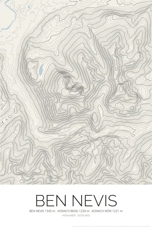
Ben Nevis Topographic Map Poster
Scottish Highlands Contour Lines Print
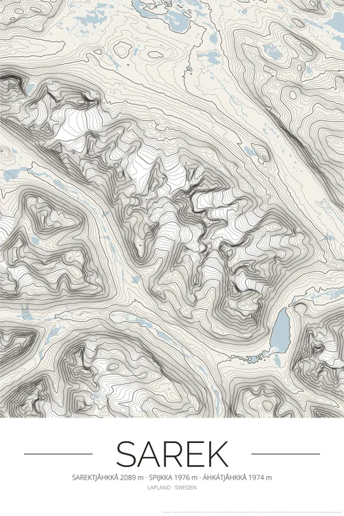
Sarek Topographic Map Poster
Sarek National Park Contour Lines Print
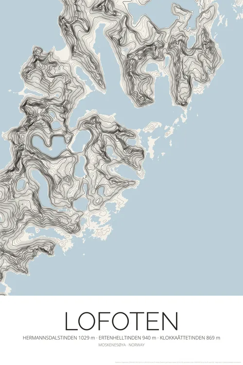
Lofoten Topographic Map Poster
Norway Islands Contour Lines Print
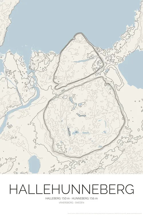
Halleberg Hunneberg Topographic Map Poster
Hallehunneberg Contour Lines Print
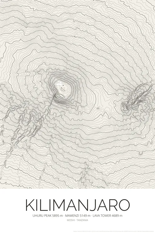
Kilimanjaro Topographic Map Poster
Tanzania Mountain Contour Lines Print
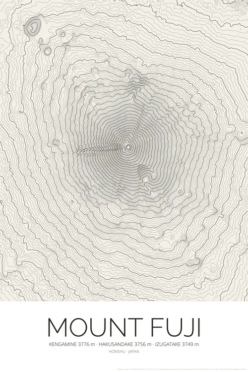
Mount Fuji Topographic Map Poster
Japan Mountain Contour Lines Print
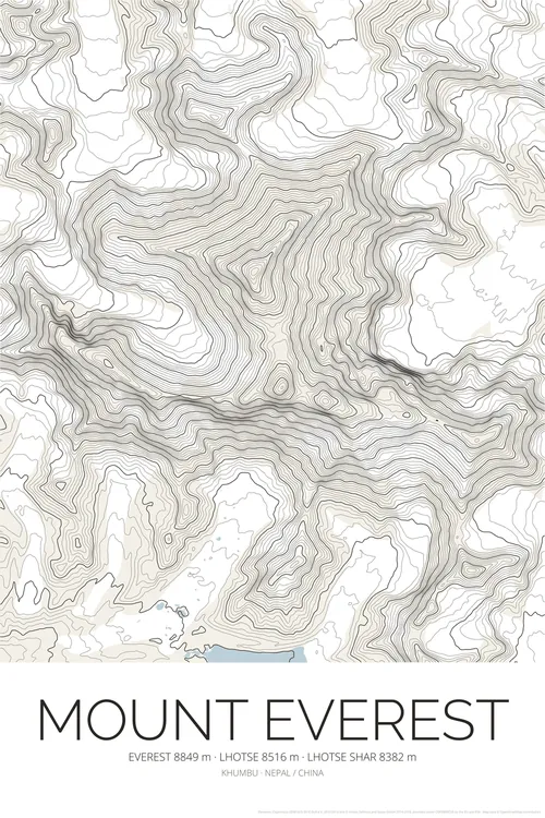
Mount Everest Topographic Map Poster
Himalaya Mountain Contour Lines Print
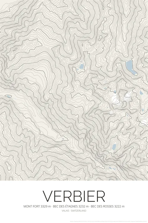
Verbier Topographic Map Poster
Swiss Alps Ski Resort Contour Lines Print
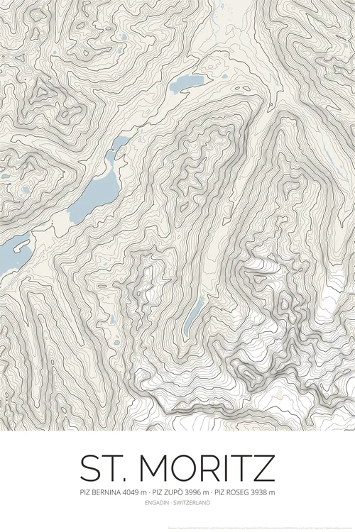
St. Moritz Topographic Map Poster
Engadin Swiss Alps Ski Resort Contour Lines Print
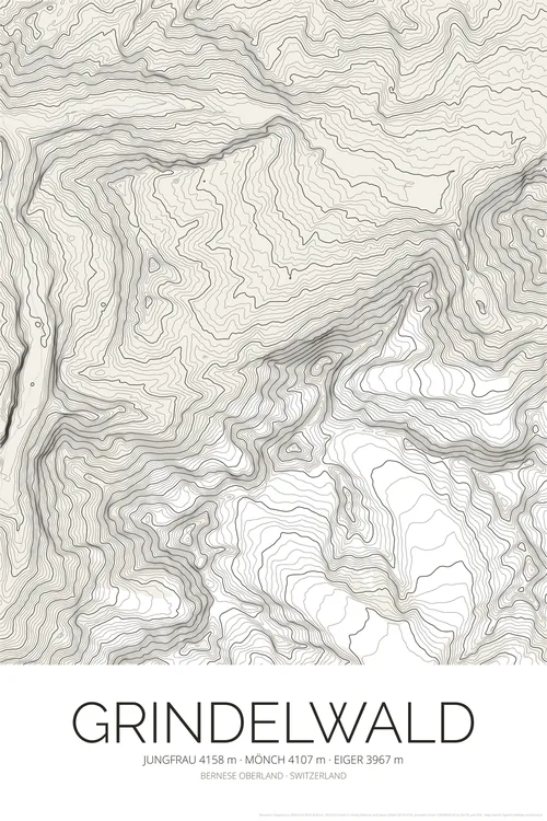
Grindelwald Topographic Map Poster
Eiger Mönch Jungfrau Contour Lines Print
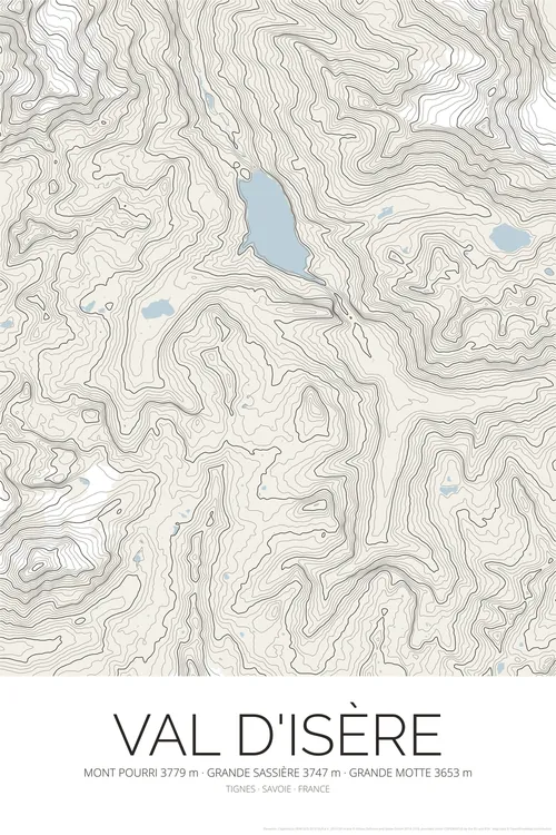
Val d'Isère Topographic Map Poster
Tignes French Alps Ski Resort Contour Lines Print
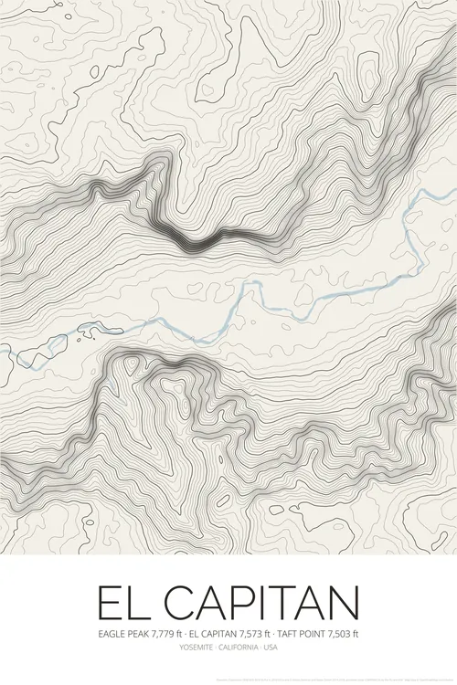
El Capitan Topographic Map Poster
Yosemite Valley Contour Lines Print
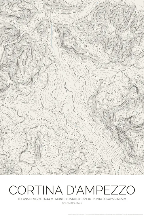
Cortina d'Ampezzo Topographic Map Poster
Dolomites Contour Lines Print
Elevation data: Copernicus DEM (© DLR e.V. and Airbus, provided under COPERNICUS by the European Union and ESA). Map data © OpenStreetMap contributors.