Topographic Mountain Maps
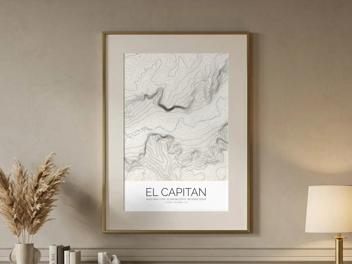
El Capitan Topographic Map Poster
Yosemite Valley Contour Lines Print
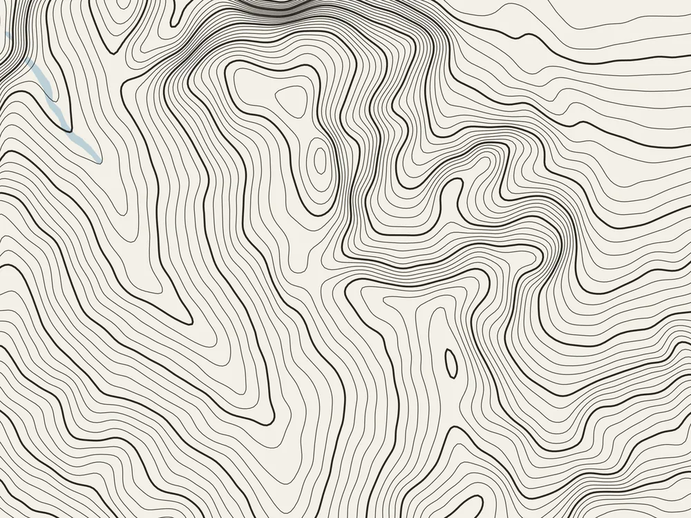
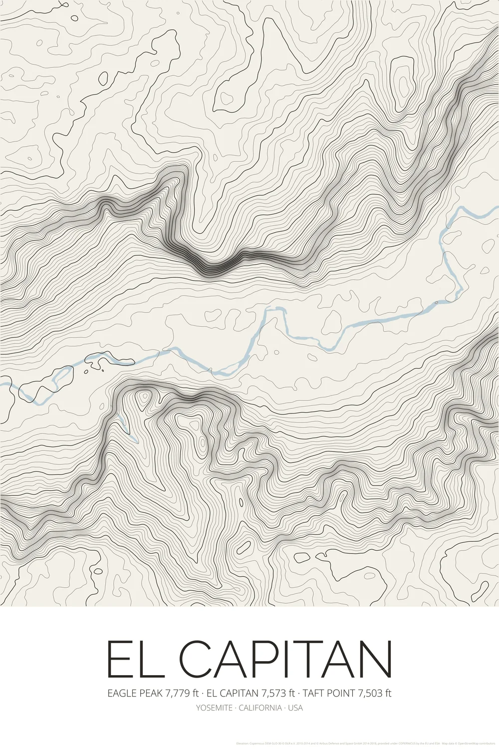
View on EtsyA topographic map poster of El Capitan (7,573 ft) in Yosemite Valley, California, the great granite monolith whose 3,000-foot face is the most famous big wall in rock climbing. Drawn as a contour map: lines every 20 metres, with every 100 metres drawn bolder, crowd together where the wall drops to the Merced River, with Cathedral Rocks across the valley and Eagle Peak (7,779 ft) above. A topo map print in calm, warm off-white paper tones that suits a minimalist interior, the cabin or the city apartment, and a lovely gift for climbers, hikers and national park lovers.
What you get
- High-resolution PNG files: 300 DPI for 50 × 75 cm prints, 150 DPI and a web size
- Instant digital download from Etsy
- Print at home, at a local print shop or with an online service
- No physical item is shipped, and the frame is not included
Elevation data: Copernicus DEM (© DLR e.V. and Airbus, provided under COPERNICUS by the European Union and ESA). Map data © OpenStreetMap contributors.