Topographic Mountain Maps
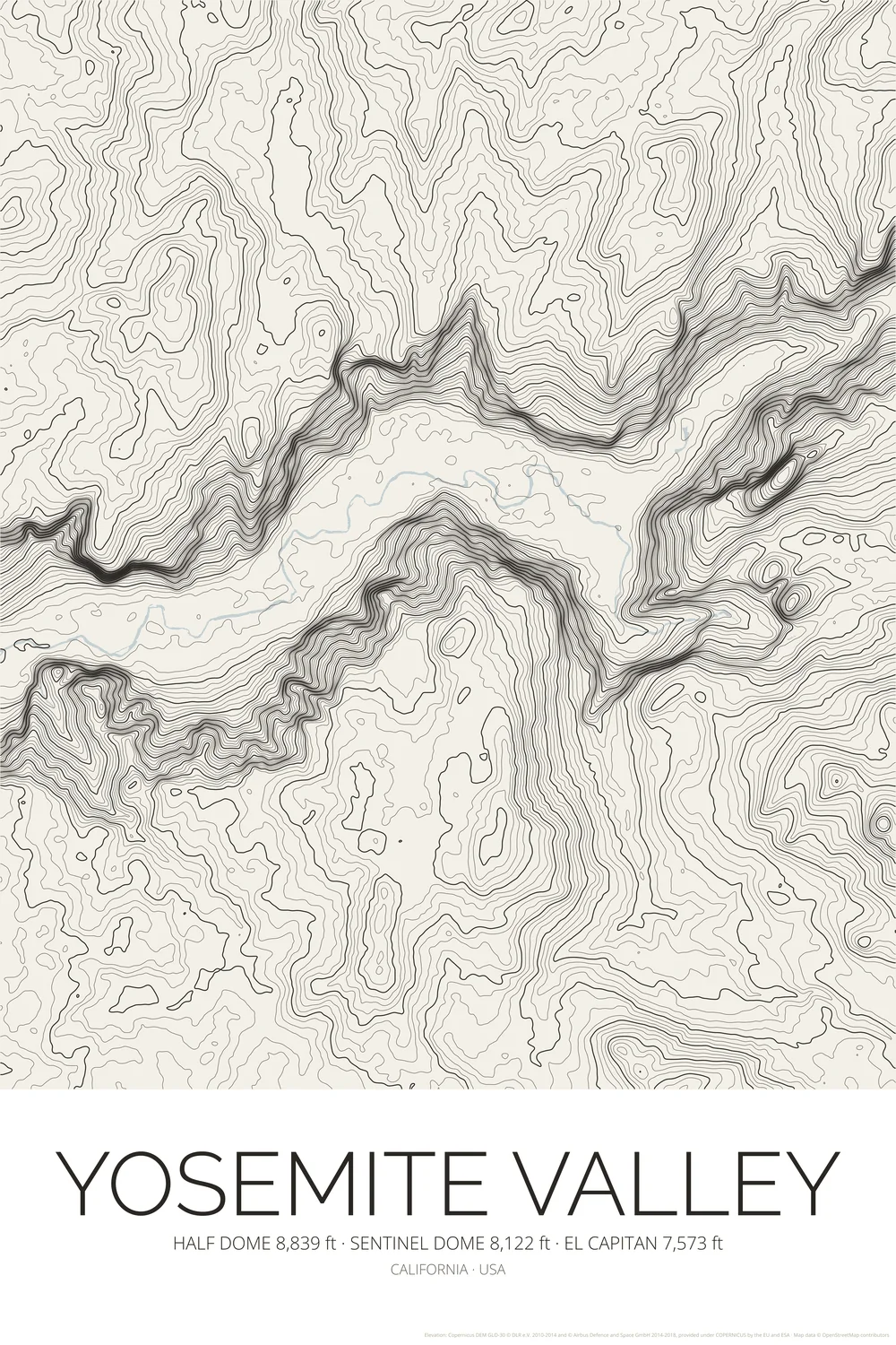
Yosemite Valley Topographic Map Poster
Half Dome El Capitan Contour Lines Print
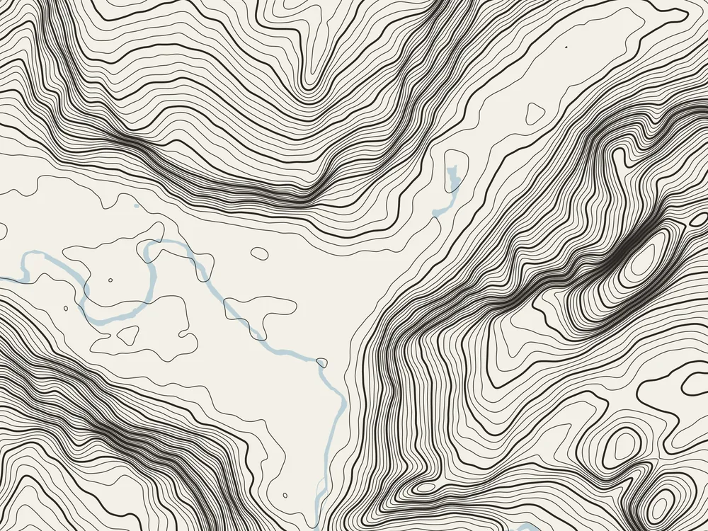
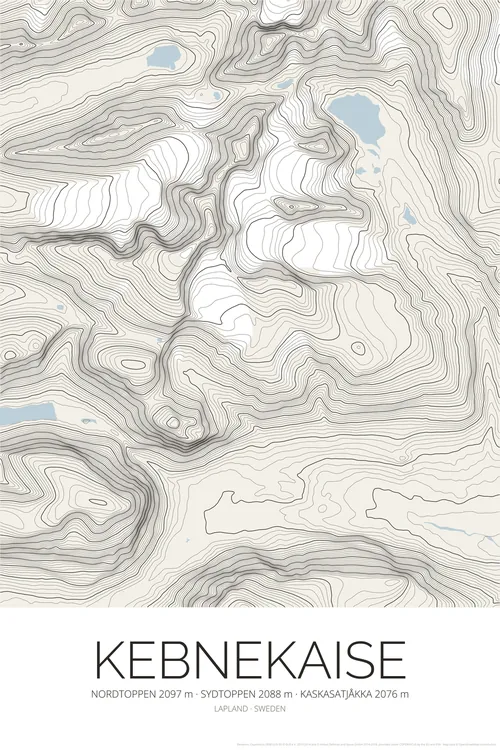
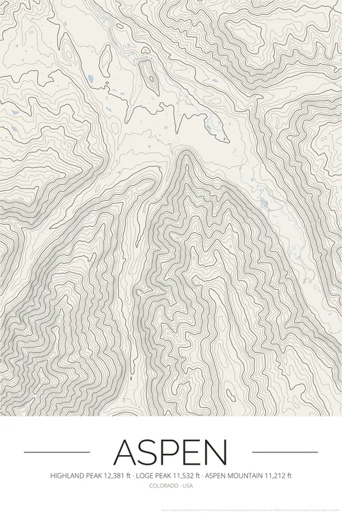
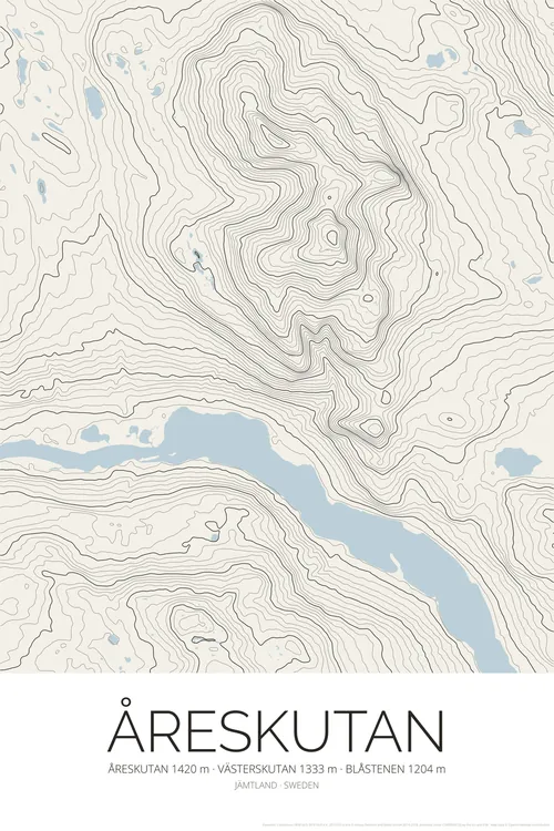
View on EtsyA topographic map poster of Yosemite Valley in California. Drawn as a contour map: lines every 25 metres, with every 100 metres drawn bolder, trace the deep glacier-carved valley and its granite walls, from El Capitan (7,573 ft) to Half Dome (8,839 ft) and Sentinel Dome, with the Merced River winding through the valley floor. A topo map print in calm, warm off-white paper tones that suits a minimalist interior, the cabin or the city apartment, and a lovely gift for hikers, climbers and national park lovers.
What you get
- High-resolution PNG files: 300 DPI for 50 × 75 cm prints, 150 DPI and a web size
- Instant digital download from Etsy
- Print at home, at a local print shop or with an online service
- No physical item is shipped, and the frame is not included
Elevation data: Copernicus DEM (© DLR e.V. and Airbus, provided under COPERNICUS by the European Union and ESA). Map data © OpenStreetMap contributors.